Long-Range Capability
VTOL drones cover larger areas than traditional drones, making them ideal for surveying, mapping, and monitoring.
Real-Time Surveillance
Monitor areas live, keeping a close eye on your assets and operations.
Cost-Effective
Reduce the need for human surveillance or large-scale mapping equipment, saving time and resources.
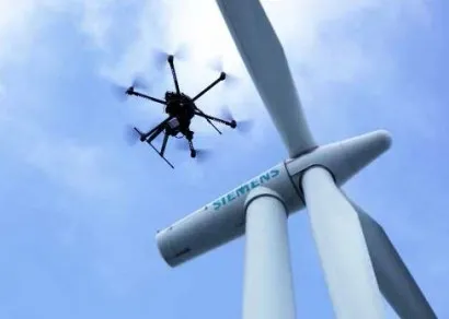
High-Precision Mapping
Capture detailed imagery and data for accurate land surveys.


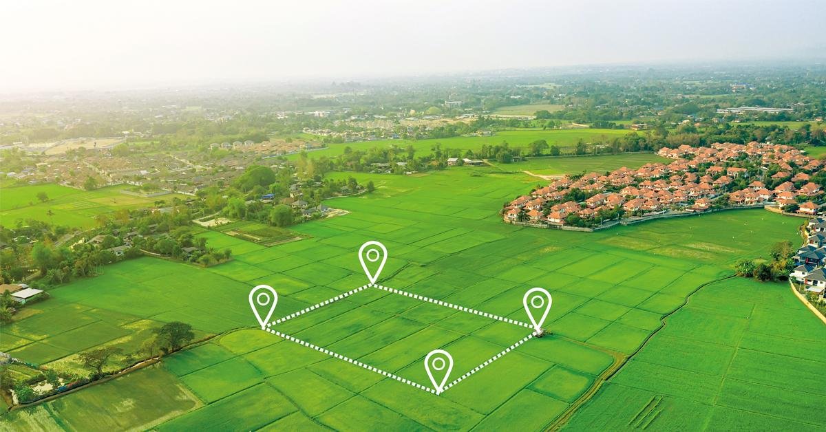
Step One
Set Your Flight Path
Use our easy-to-program software to define the drone’s flight area.

Step Two
Automated Data Collection
The drone captures data or video automatically during its flight.

Step Three
Real-Time Monitoring or Post-Mission Analysis
Analyze live feeds or recorded data for actionable insights.